Understand distances by walking them
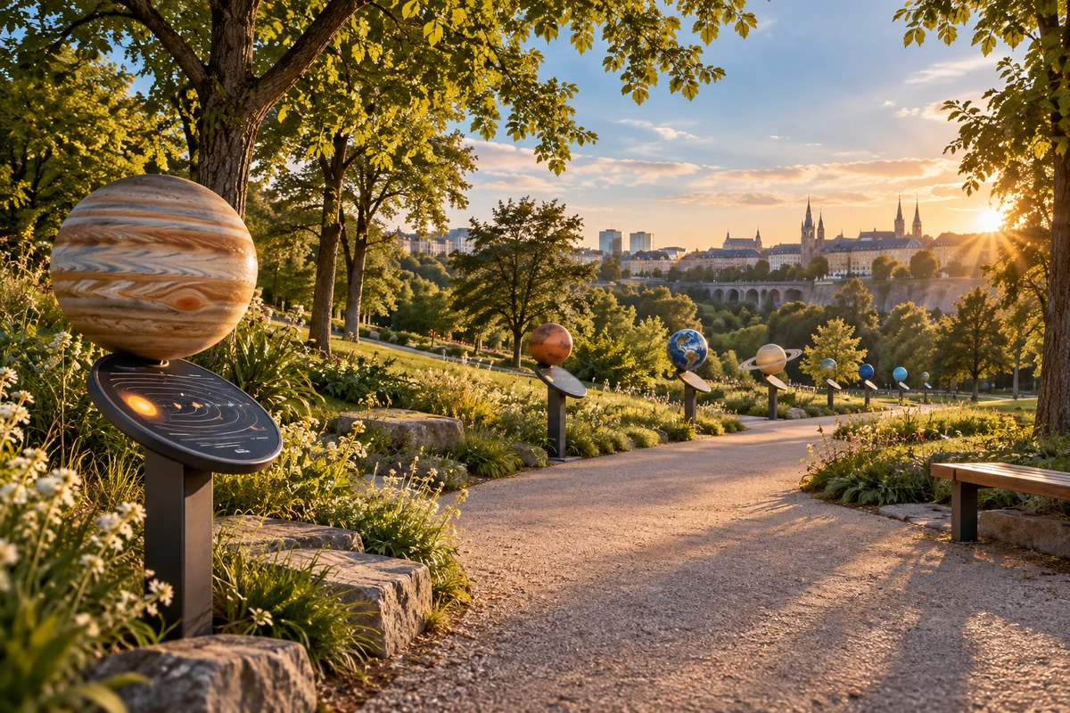
The Solar System Trail turns astronomical distances into a walk. The Sun marks the starting point; the planets are placed at distances proportional to their average distance from it. Moving from one station to the next helps visitors of all ages experience the vastness of the Solar System and discover the worlds within it.
The concept is designed to work in many different places. A trail can be installed outdoors or indoors, with information panels, QR-code planet sheets and signs suited to its audience.
Four formats, from a park to a classroom
The route length adapts to the available space. The figures below are approximate and use average distances between the Sun and the planets.
Large · about 5 km
Neptune is about 4.5 km from the Sun. For a large public space or a town route.
Small · about 500 m
Neptune is about 450 m from the Sun. For a park or neighbourhood walk.
Mini · about 50 m
Neptune is about 45 m from the Sun. For a schoolyard or compact outdoor space.
Micro · about 5 m
Neptune is about 4.5 m from the Sun. For a classroom, corridor or display board.
A concept to adapt to every place
Each installation can choose its route, signs and level of detail. Planets can be represented by spheres or illustrations. If their size is enlarged to make them visible, that difference is clearly labelled so visitors can still understand the scale of the distances.
The project is open to discussions with towns, schools, associations and cultural venues interested in exploring an installation or creating their own version.
 THE DIGITAL COMPANIONExplore the Solar System Trail portalDiscover the planets, choose a scale and create your trail →
Kirchberg: an example of an urban trail

Walk through the Solar System
The Kirchberg Solar System project imagines an urban route where the Sun and planets are represented at the same scale for both size and distance. The aim is to convey the vastness of space through a simple experience: walking from one celestial body to the next.
A scale of 1:10 billion
At this scale, one metre along the route represents ten million kilometres in space. The Sun would be about 14 cm across, while Earth would be a tiny sphere about 1.3 mm across, nearly 15 metres from the Sun. Neptune would be roughly 450 metres away.
14 cm
The Sun’s approximate diameter in the model.
15 metres
The average Sun–Earth distance at this scale.
450 metres
The average distance to Neptune in the model.
These figures are rounded and use average orbital distances: the planets move and do not remain permanently aligned. The final route has yet to be defined.
Information stations for learning and exploration
The concept includes information stations, designed as display cases or posts, introducing each planet and its characteristics. QR codes could lead to dedicated pages, illustrations and further explanations. Solar power is being considered for elements that would need energy.
The route is intended for pedestrians, cyclists, families and school groups, with visibility from passing routes and the tram. Locations, permissions, partners and technical arrangements will need to be studied before implementation.
A symbolic link to the stars
The idea could extend to Proxima Centauri: at this scale, the neighbouring star would be about 4,017 kilometres away. This contrast would show how, even after a walk of a few hundred metres between planets, distances between stars are on a radically different scale. A symbolic partner station is being considered.
Comment créer son propre parcours solaire
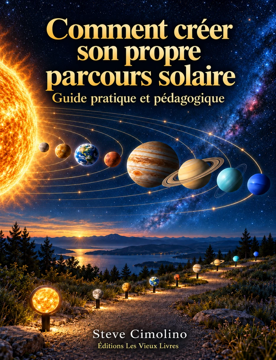
Steve Cimolino’s practical, educational guide helps you create your own solar trail. Its 124 illustrated pages are designed for families, teachers, associations and local authorities.
Understand scales, choose a location, calculate distances and diameters, design stations, prepare QR codes and host the digital companion: a step-by-step method with activities and fact sheets for all nine celestial bodies.
Steve Cimolino · Éditions Les Vieux Livres · 2026
124 pages · French · PDF 10,6 Mo
Create and host your own trail
The ZIP kit contains a standalone website you can customise: a portal, configurator, nine pages from the Sun to Neptune, printable A4 panels and QR-code generation. It runs on static hosting, without a database or PHP.
- Download and unzip the kit. Upload all its contents to a folder on your web hosting.
- Open the online configurator, choose the name, organisation and scale, then enter your final HTTPS address.
- Export your customised kit and replace the files on your hosting. Test all nine stations and their QR codes before printing the panels.
ZIP export requires an HTTP(S) page; simply double-clicking the HTML file is not enough. QR codes are generated after entering the trail’s address.